Courtesy of eXp Realty - Krissy Mireles Team
$327,777
200 S Interstate 35 E, Lancaster, TX 75146
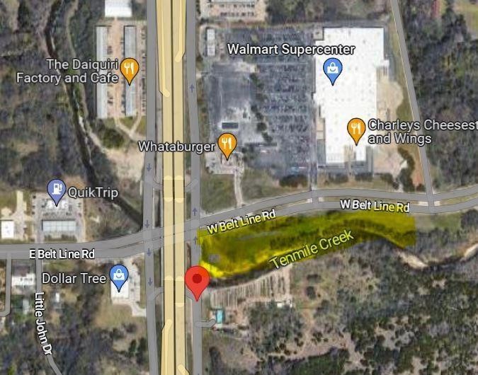
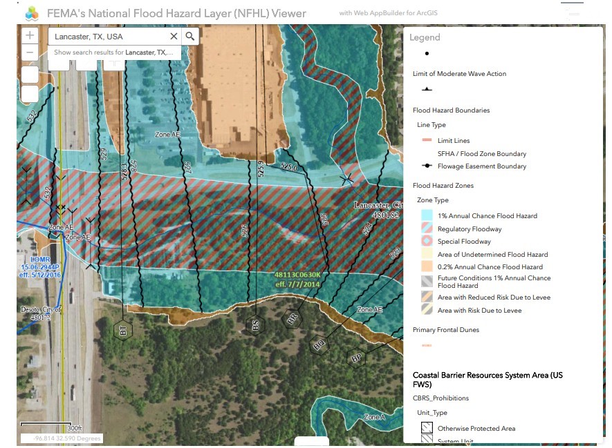
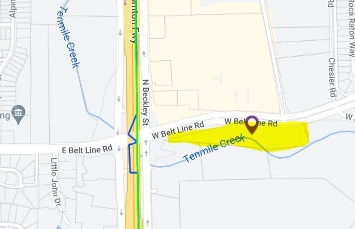
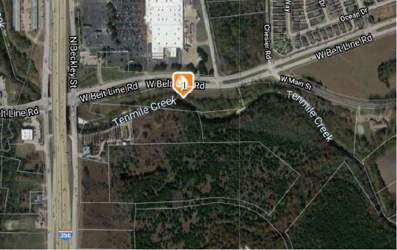
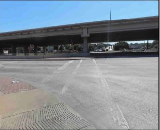
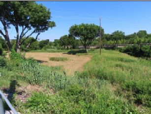
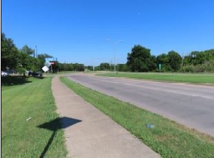
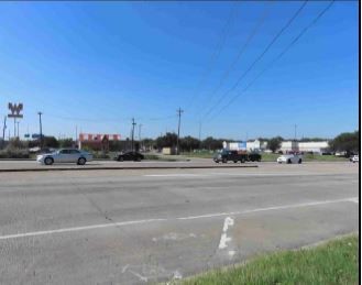
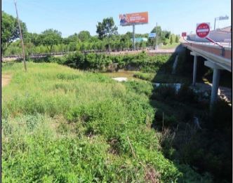
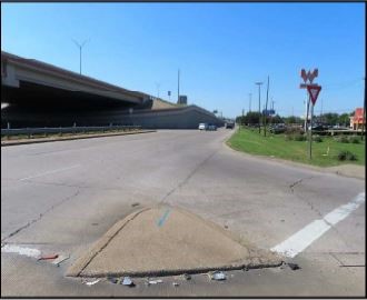
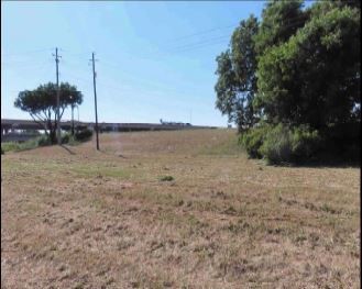
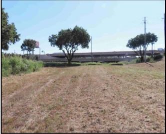
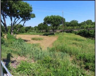
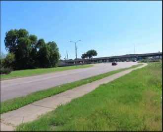
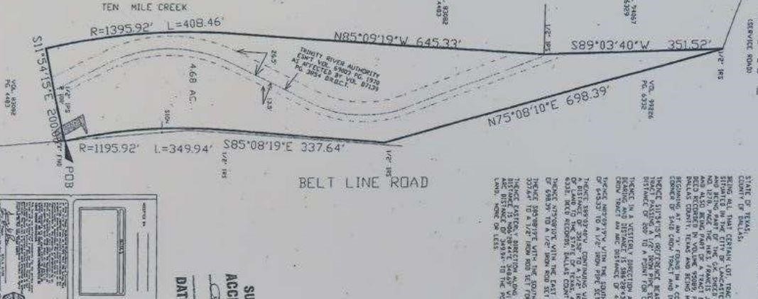
200 S Interstate 35 E, Lancaster, TX 75146
We would love to help you see this beautiful home! As a full-service brokerage, we can help you tour. Please submit an offer, and answer questions about the buying process.
I'm Interested In

207 W Marvin Ave Waxahachie TX 75165
207 W Marvin Ave Waxahachie TX 75165